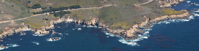
The area around Soberanes Point is rocky. The shoreline is rough and riddled with sea caves yet the road is fairly close, lower, and more gently curving.
5529 Soberanes Point
The cliffs look small, but as you can see in this next pic from the house inset at left for scale the cliffs are pretty tall.
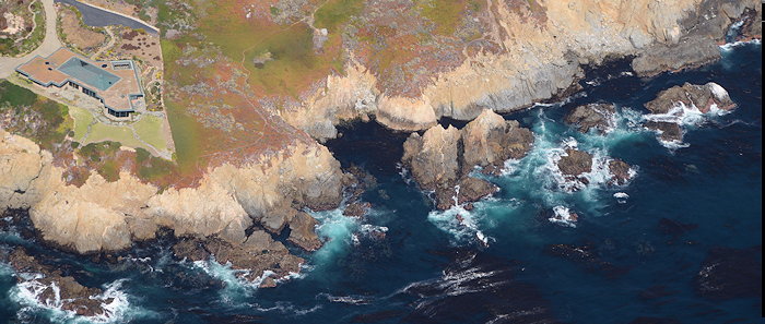
5525 Cliff Scale
In case you hadn’t already guessed, despite looking very much like an inset, it’s an actual house (mansion?). That shows how high these cliffs really are. Here’s a less strange looking pic showing some homes next door along the Aurora Del Mar frontage road.
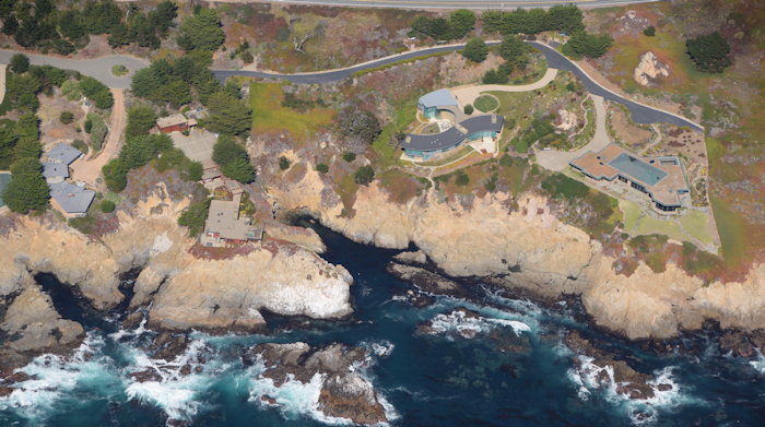
5523 Aurora Del Mar
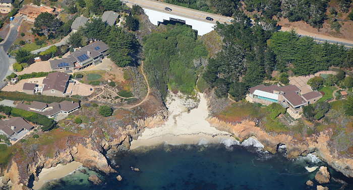
In some places here there are beautiful sheltered tiny private beaches, many with soft sand between the rocks. Even though fairly high above the high water line, many of these buildings probably get quite a pounding from big storms. Window washing must be a daily chore, to maintain these amazing ocean views.
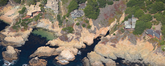
5521 Micro Beaches
Now we reach Malpaso Creek, which again some say marks the end of Big Sur because it’s the start of the large Carmel Highlands area. At first glance I thought it was also the end of Big Sur’s beautiful concrete arch bridges from the 1930s.
5520 Stepped Bridge?
But in the full-resolution version of this pic I can see that the white “step” outline is just a plastic cover over scaffolding. Apparently this bridge is getting some repair work. There’s a lovely beach here, complementing the sea caves to its right and left.

You must be logged in to post a comment.